to the index page
Life in Southern California:
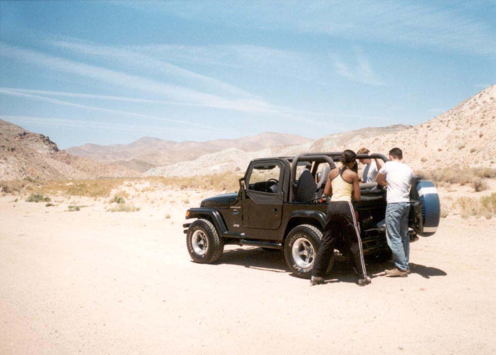
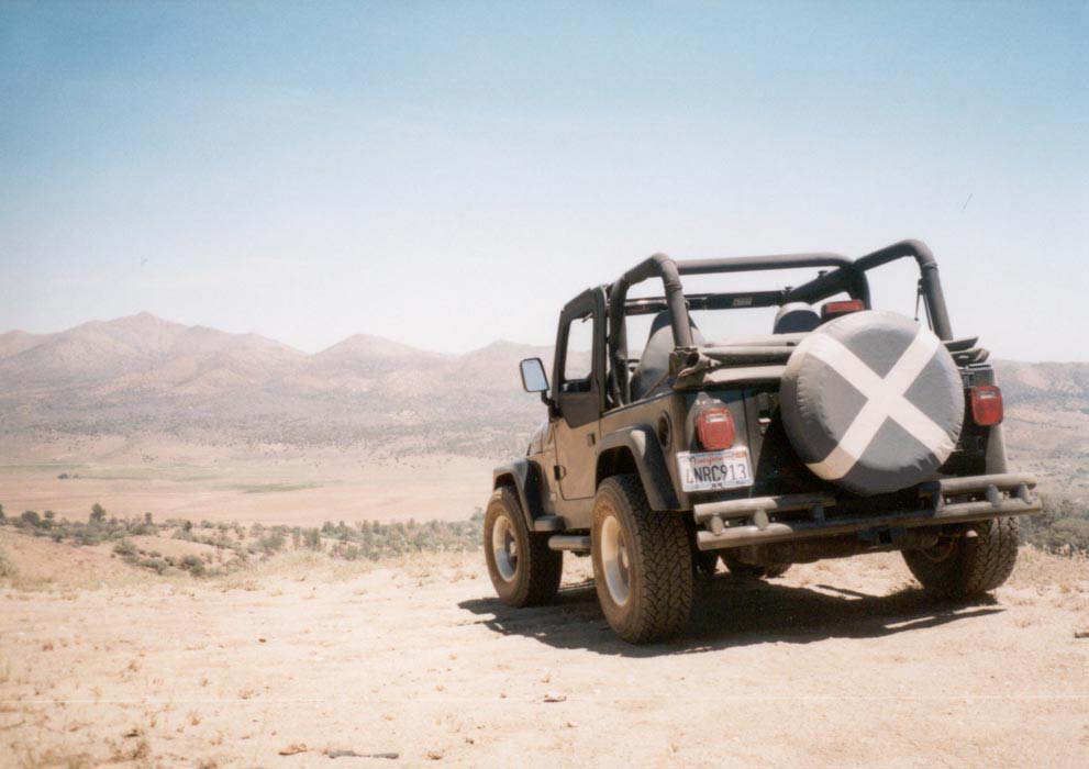
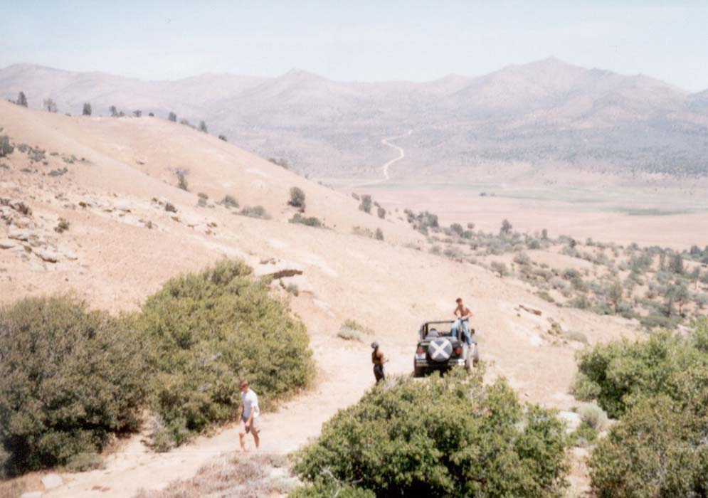
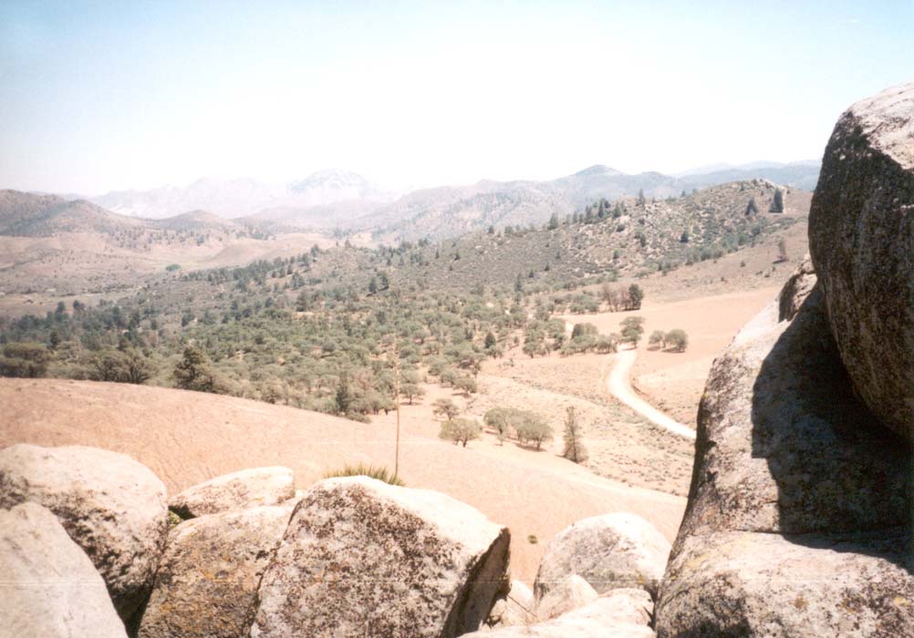
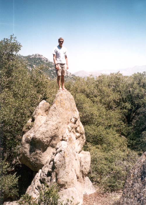
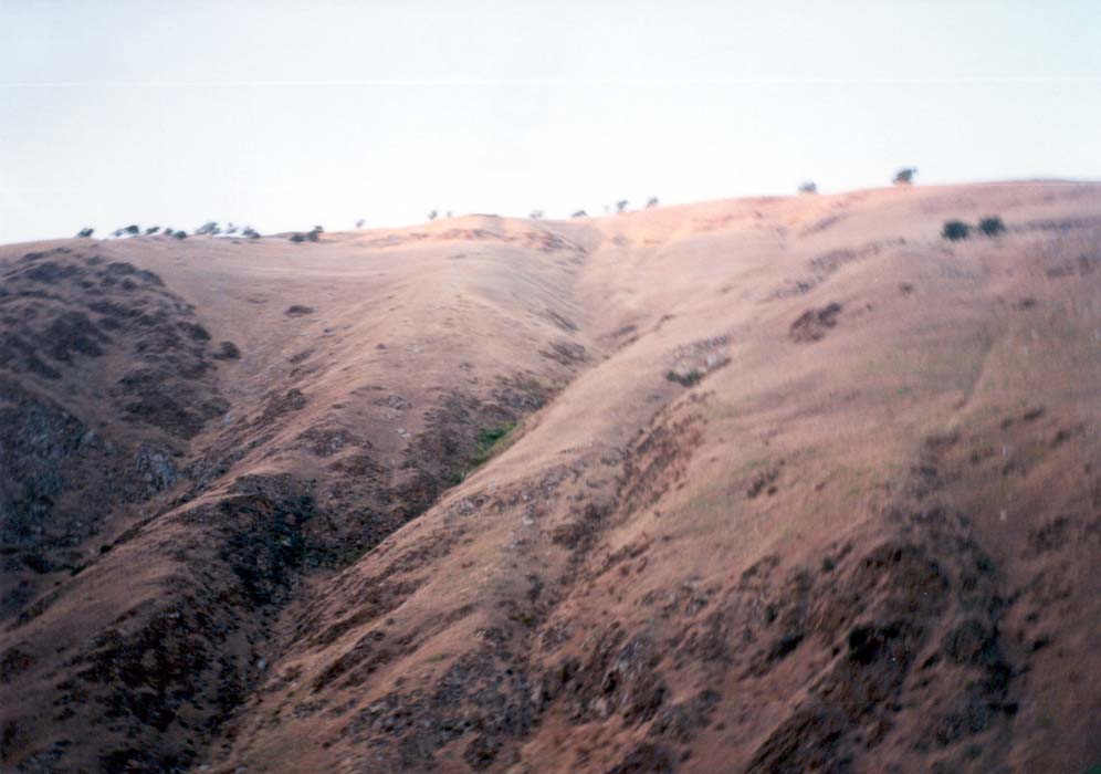
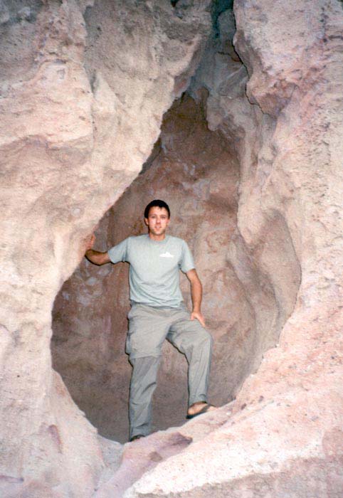
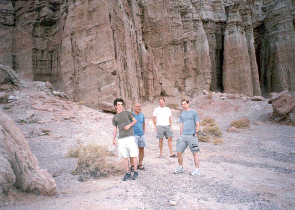
Jawbone Canyon by jeep. May 2002
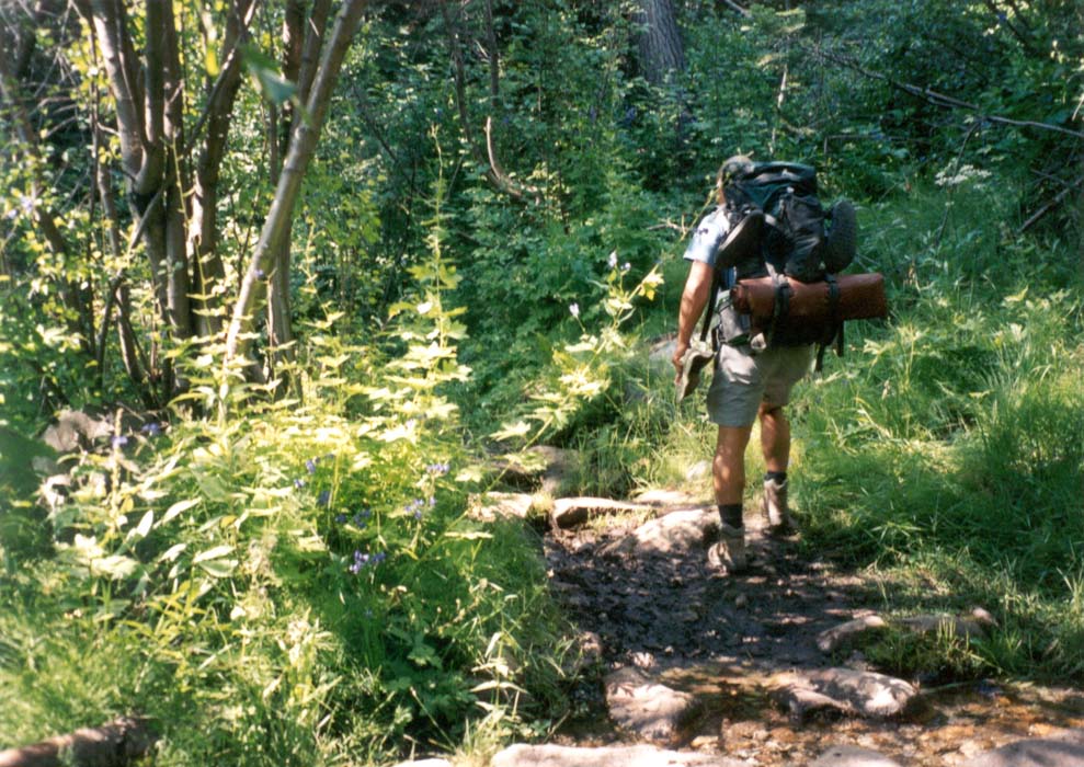
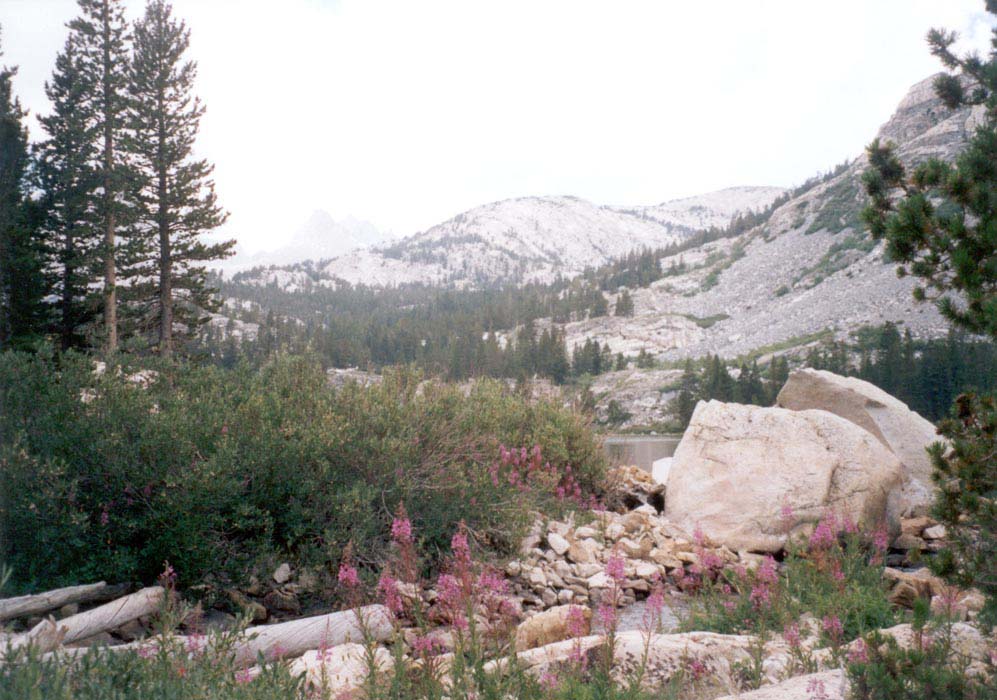
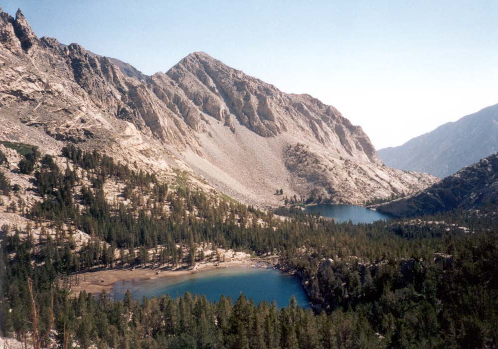
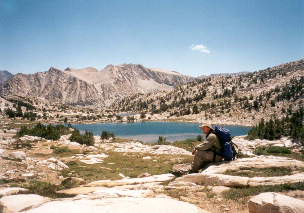
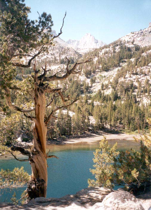
Cottonwood Lakes, Sierra Nevada. May 24-26, 2002
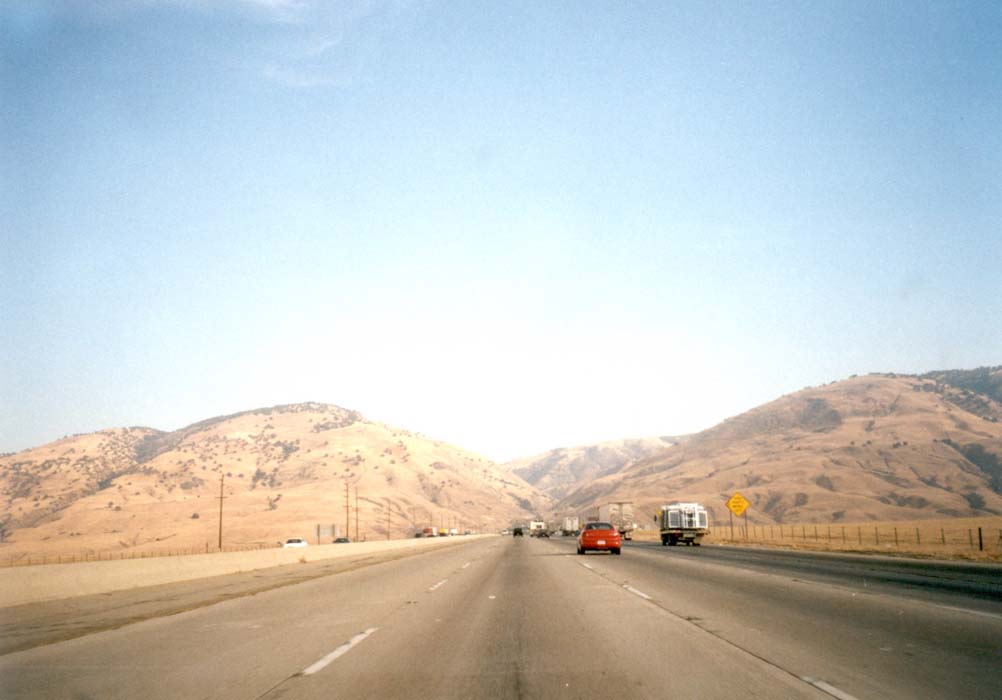
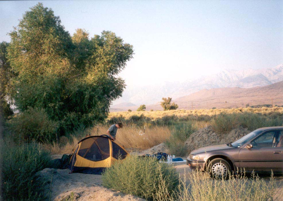
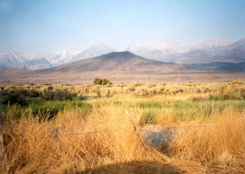
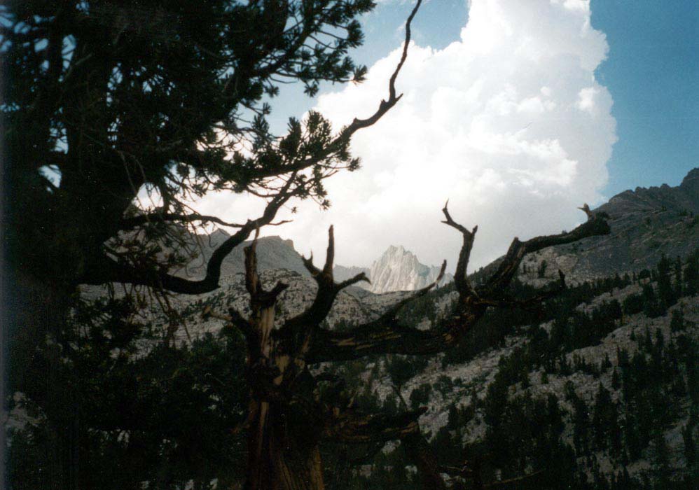
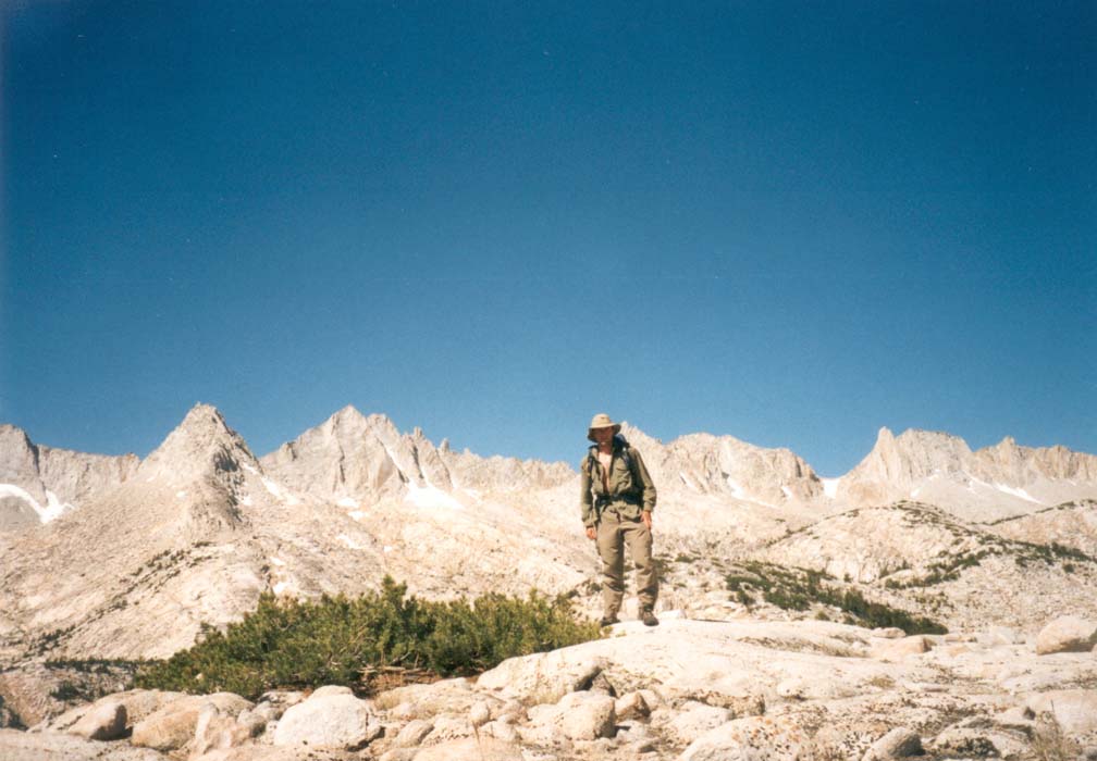
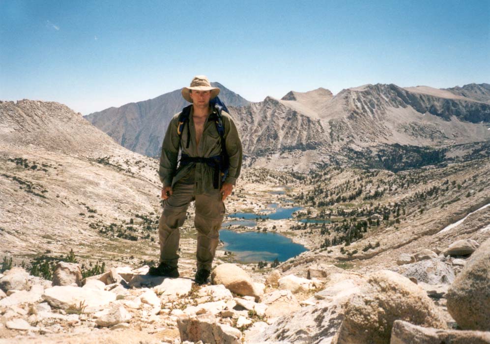
Friday evening we drove the familiar route up the 210 freeway to the 14, across the desert to Mojave, north on the 395 at sunset to Lone Pine, and up the Horseshoe Meadows road to the trailhead 10,000 feet high. The night was cold and the stars bright. In the morning we hiked in to the Cottonwood lakes, beautiful blue pools in a granite basin surrounded by dramatic mountains still covered with patches of snow. There was ice on some of the lakes still. We napped in warm grassy meadows. I splashed around in the shallows of the cold clear water and tried to capture slippery golden trout from their hiding places under logs and rocks. We watched furry marmots scampering between boulders and fended off chunky gray birds that hopped around camp and later pillaged our food bags that we hung from trees to keep them safe from wildlife. I climbed some interesting granite crags and slid down steep snow slopes on the worn soles of my running shoes.
Sean and I scrambled up a ridge to the crest of the mountain, where we paused to admire the vista of snowy peaks to the West and to watch two climbers walk and slide down a precipitous snow chute about a half mile away. In the calm air we could hear much of what they said. Finding the pass deeply snowed in, we carefully kicked steps down thirty feet of snow at a break in the cornice and then scrambled a thousand feet to the trail below. Afternoon thunderclouds brought rumbles and wisps of snow. Above in the sky we could see the feathers of falling snow evaporating as they fell towards the hot air rising from the desert. May is a nice time of year to be in the High Sierras.
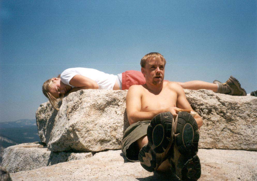
Half dome and Sentinel Dome, Yosemite, July 12-14, 2002.
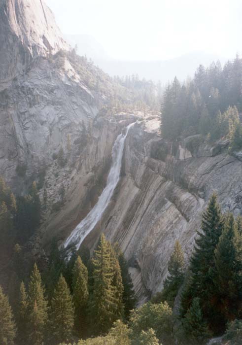
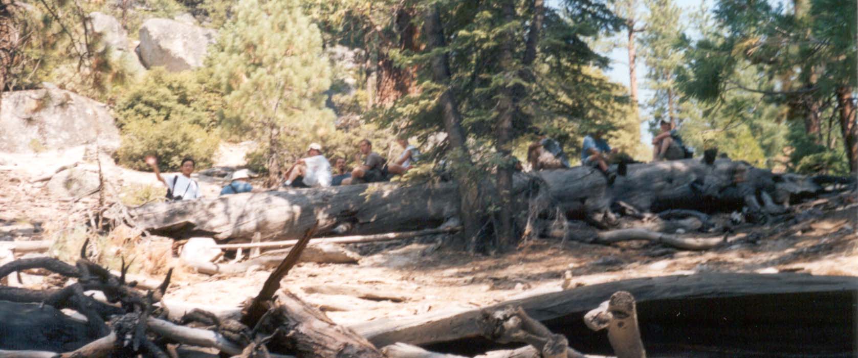
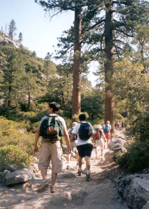
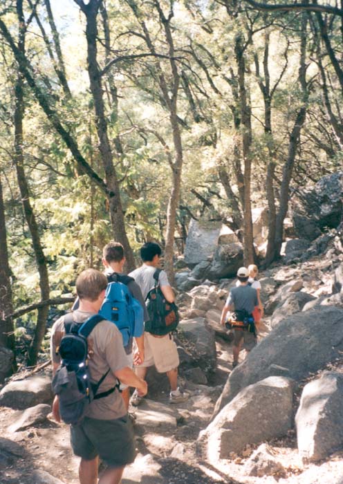
Yosemite in July is hot, hazy, and crowded but beautiful nonetheless. We 14 from JPL drove to the park mid-day Friday and settled into two rooms at our condo. A trip out to get gas turned into a 50 mile adventure through the Valley and out to Crane Flats that evening. Next morning, early, we started out from the Happy Isles trailhead,climbed above Nevada Falls, and ascended to the East shoulder of Half Dome. A fire on the West shoulder had kept trails closed in previous days but they were open Saturday morning.
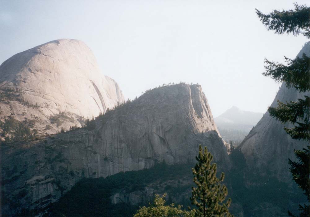
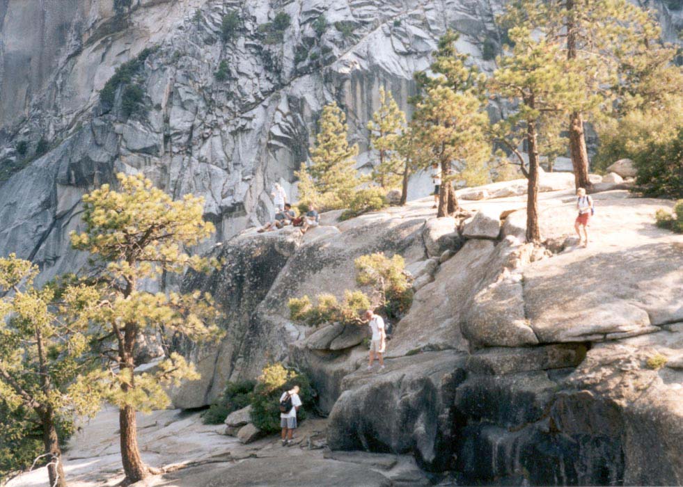
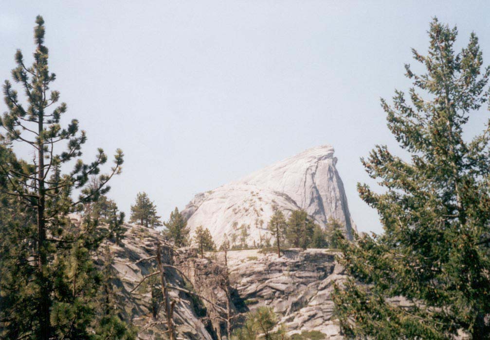
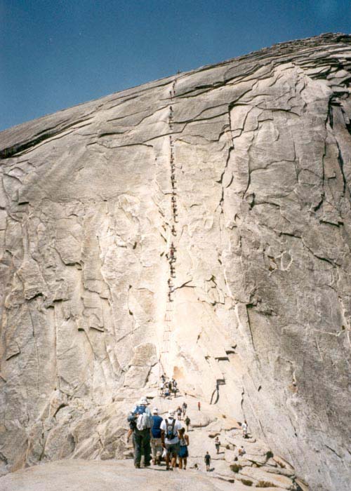
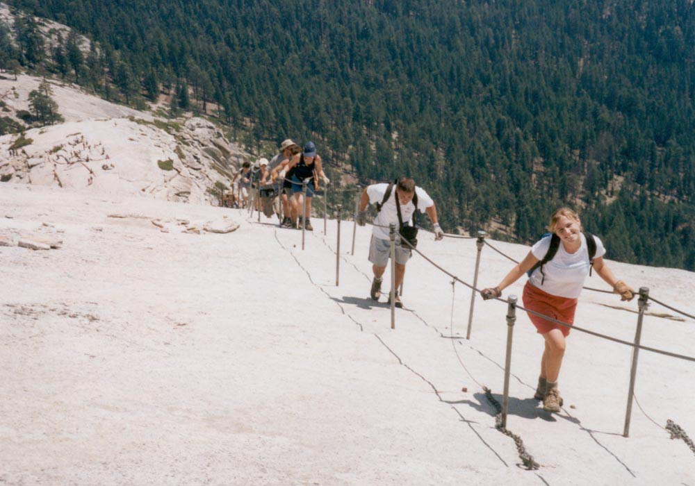
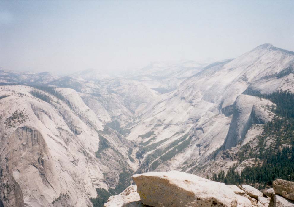
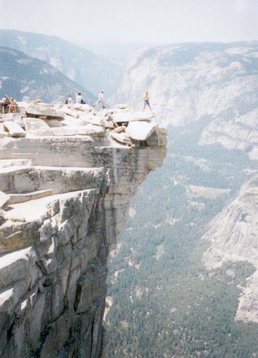
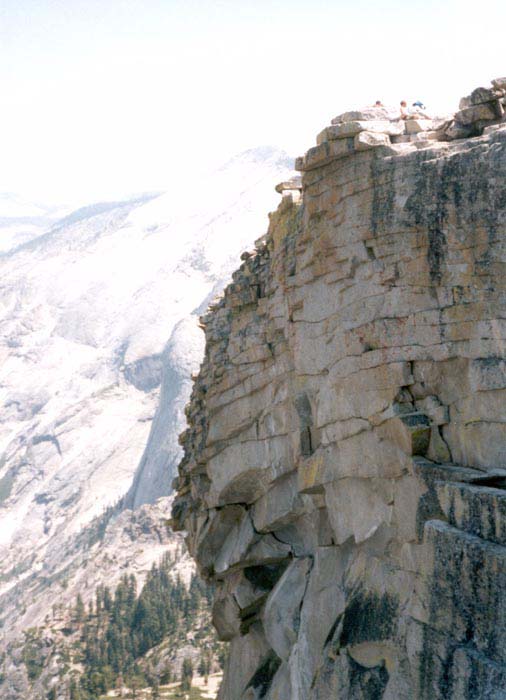
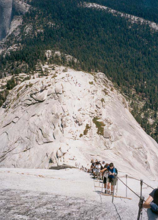
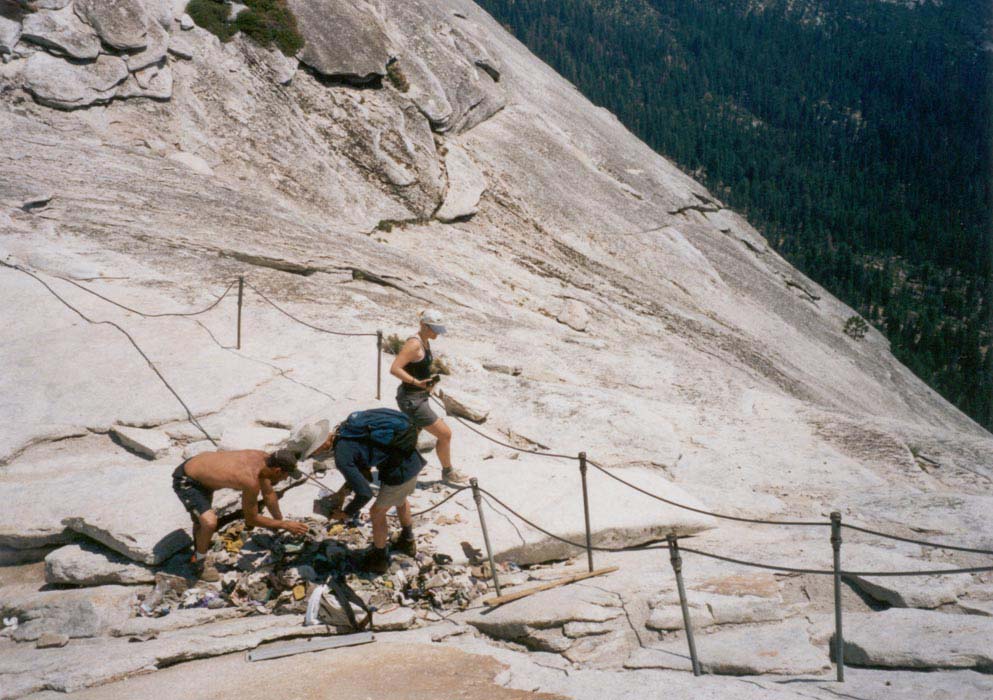
Most of the group scrambled up the cables to the spacious summit. The trail did not quite live up to the excited descriptions of most trail guides... steps are blasted out of perfectly passable granite slabs, concrete and asphalt are poured in places to smooth the surface and create a wide path, and the cables to the top are not nearly as formidable as one might suppose. Plastic flip flops and a pair of running shoes are well suited to the trail. The hundreds of tame squirrels and fearless deer attest to the heavy use of the area, but the park service has done an excellent job building sturdy, safe trails that keep the people and the land as safe as possible. At the top we looked out across hazy mountains and valleys and peered over the edge down the steeply slanted wall of Half Dome.
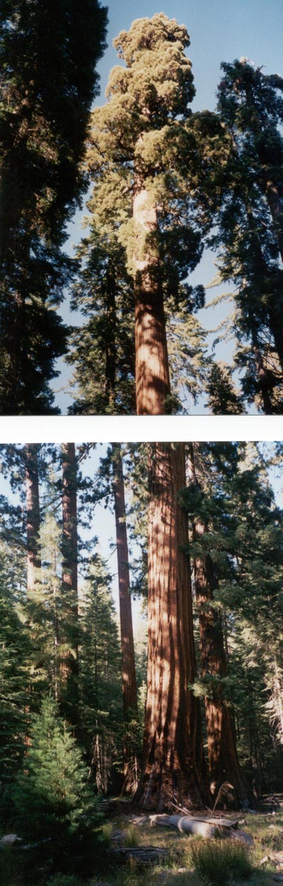
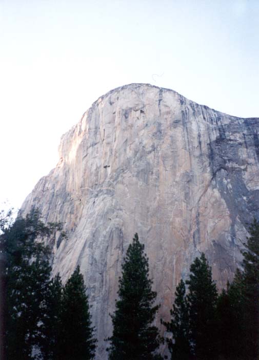
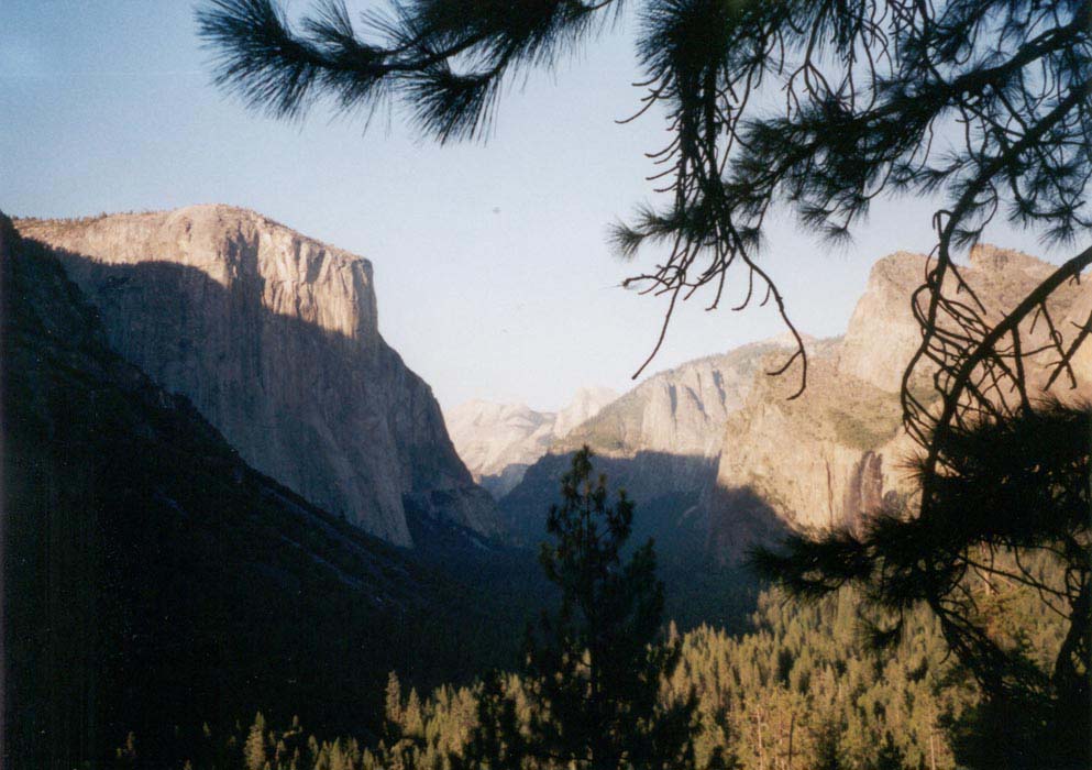
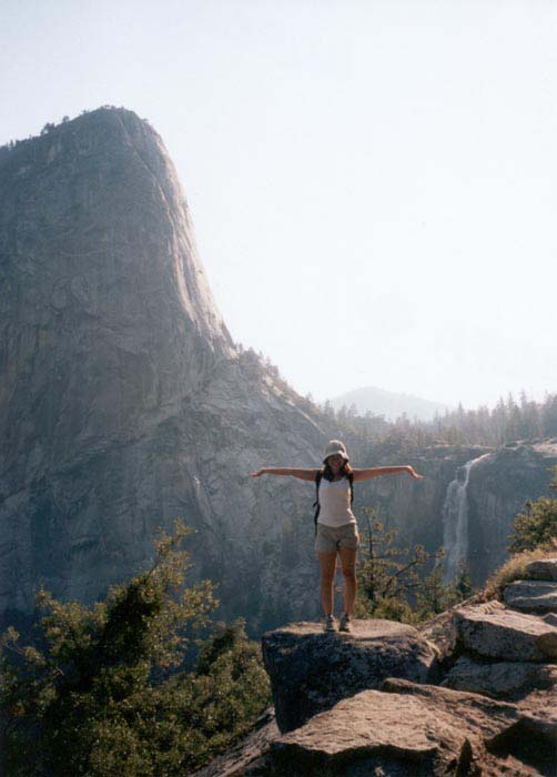
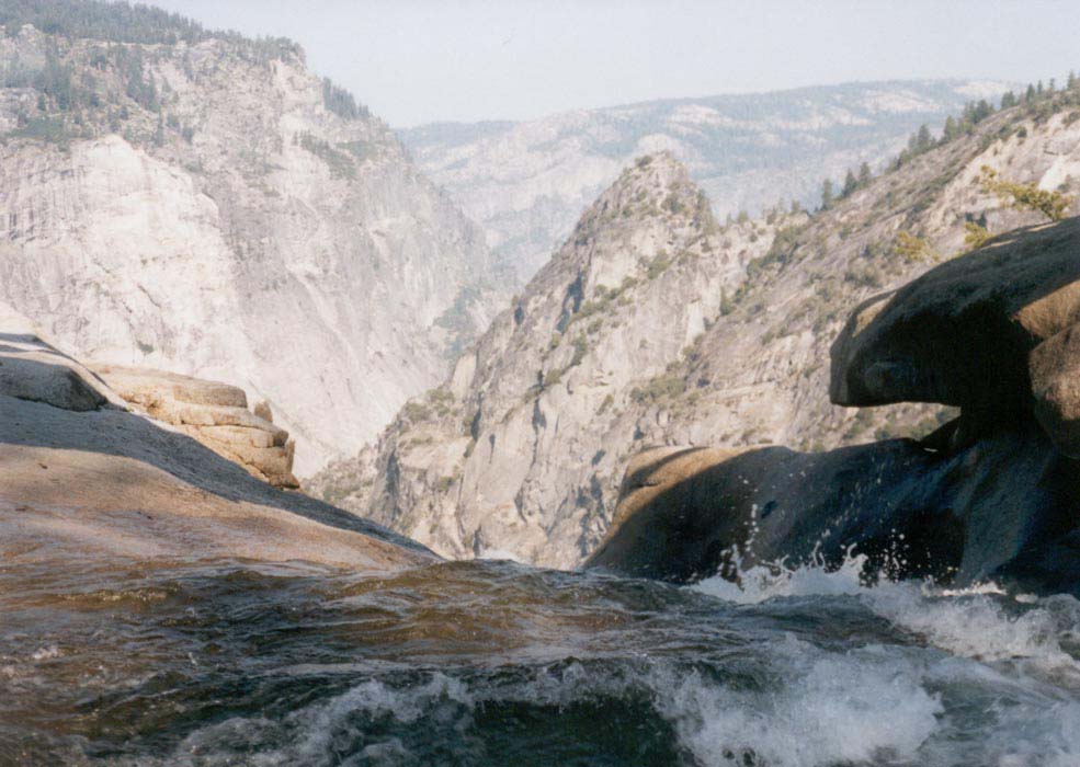
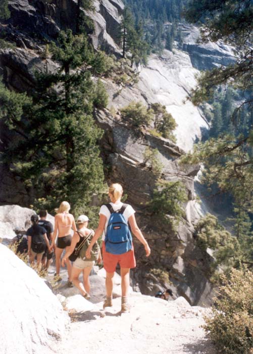
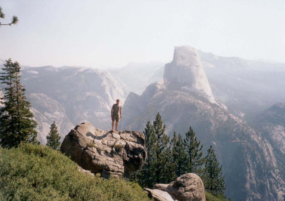
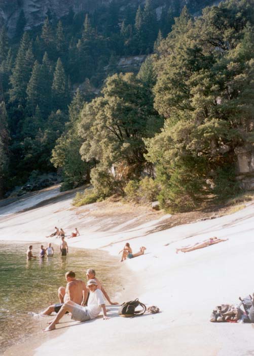
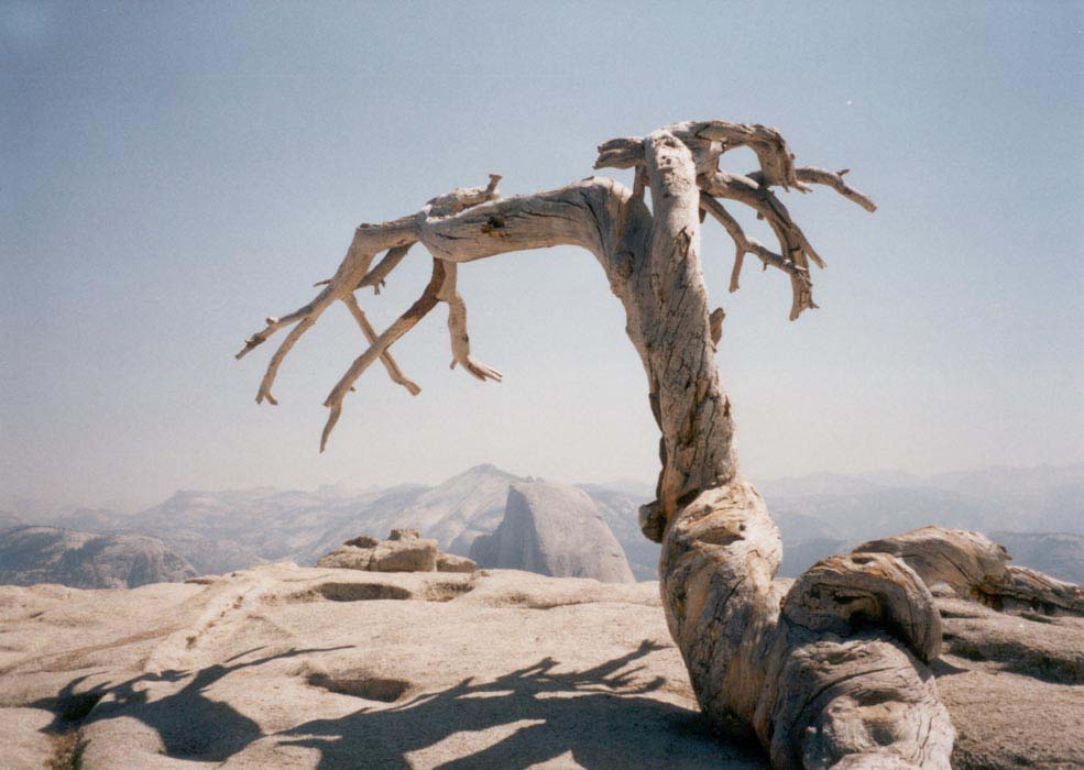
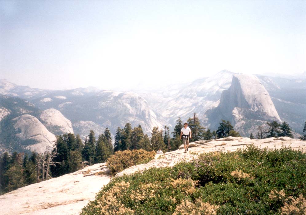
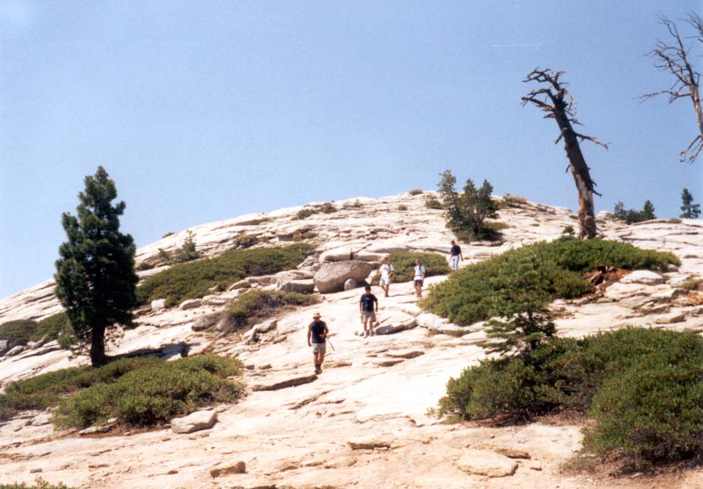
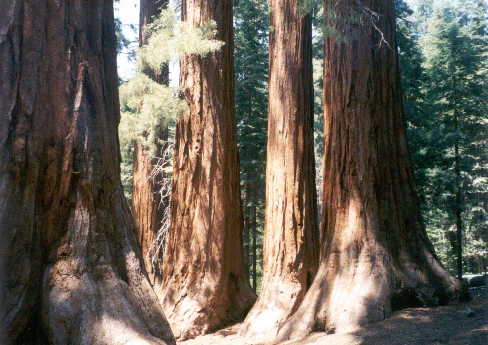
The hike down the Mist Trail beside the waterfalls was much more exciting than climbing the rock. At the base of 600-foot Nevada falls I stood on a rock that looked like the prow of a ship and thoroughly enjoyed the surges of mist that came rushing across from the cascades of water. Farther down we encountered the inviting granite basin of Emerald Pool, atop the 330-foot Vernal Falls. There we spent much time swimming and sliding down the slick rocks into the water on our stomachs like otters. Afterward we found signs attesting to the danger of sliding and slipping and the federal offense of approaching the water. Just check for rocks first... seems like common sense to me! The falls were beautiful. So was the sunset. 17 miles and 12 hours later we returned to the car. Next morning we drove to Glacier Point, peered down the cliffs and looked down on our route through the rugged canyons and cliffs and up the edge of Half Dome. We walked a mile in to the top of Sentinel Dome, quite possible the most beautiful viewpoint in the park and certainly nicer than Half Dome. From the summit we could look in a full circle and see the Valley, El Capitan and Half Dome, distant craggy peaks, and rolling forested hills. On the way out of the park we stopped at the Mariposa Grove to look at the giant sequoias there.
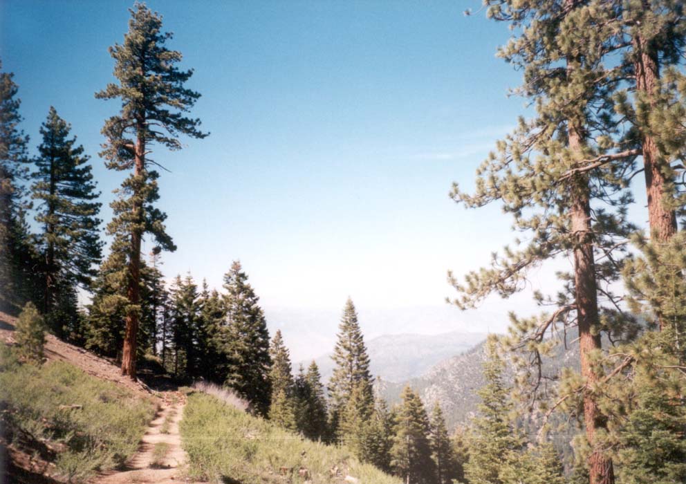
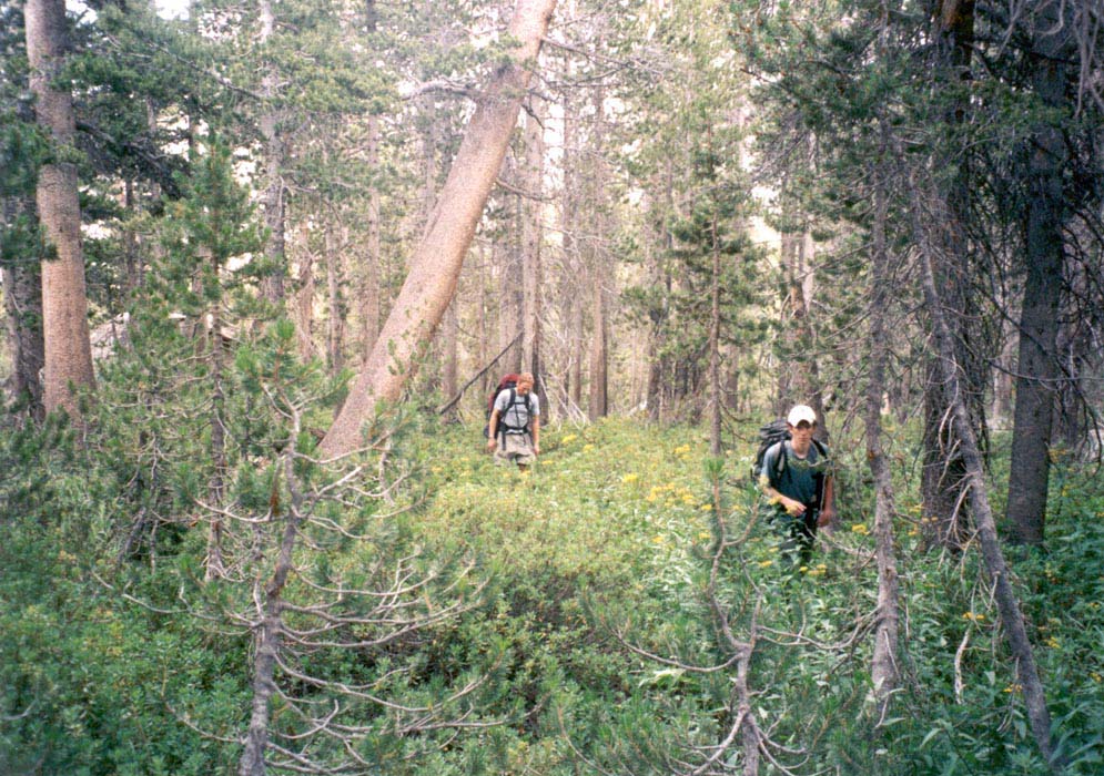
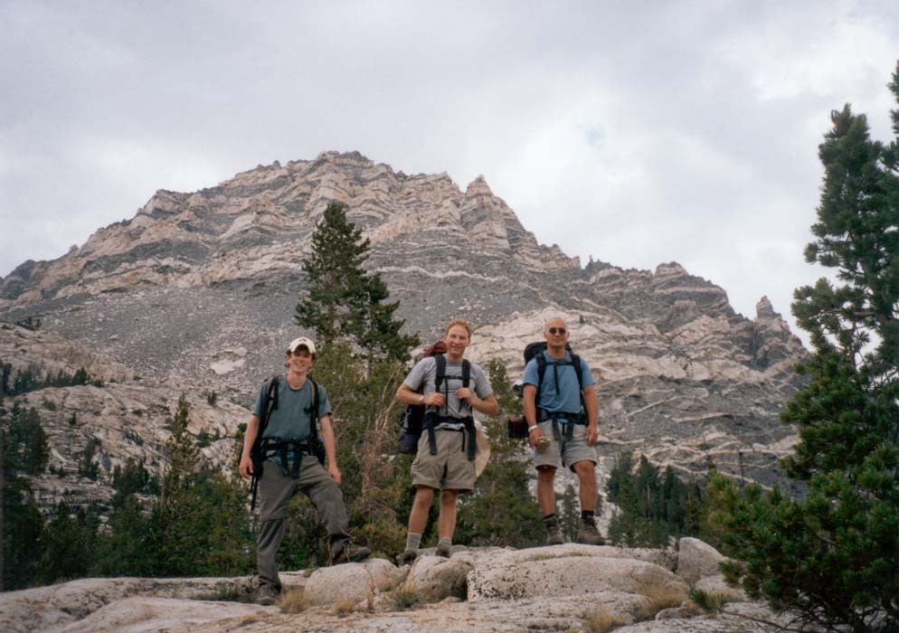
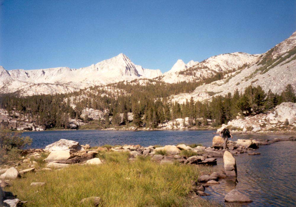
Hiking Pine Creek, Sierra Nevada high country, August 2-4, 2002.
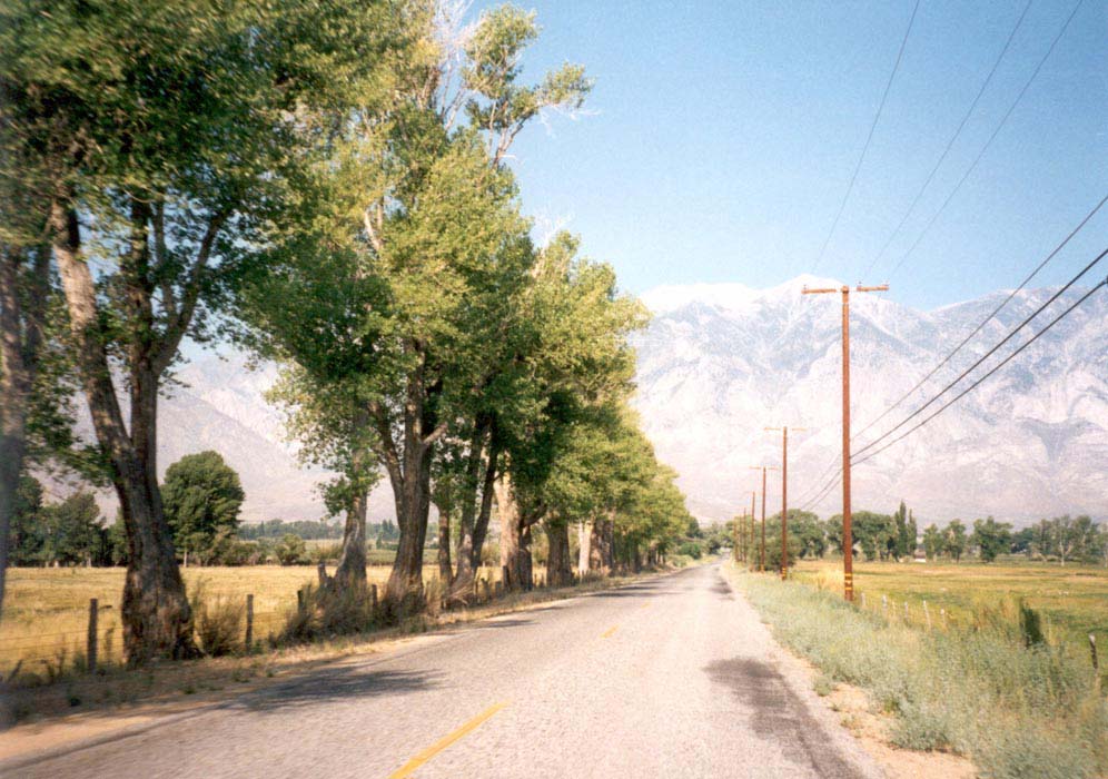
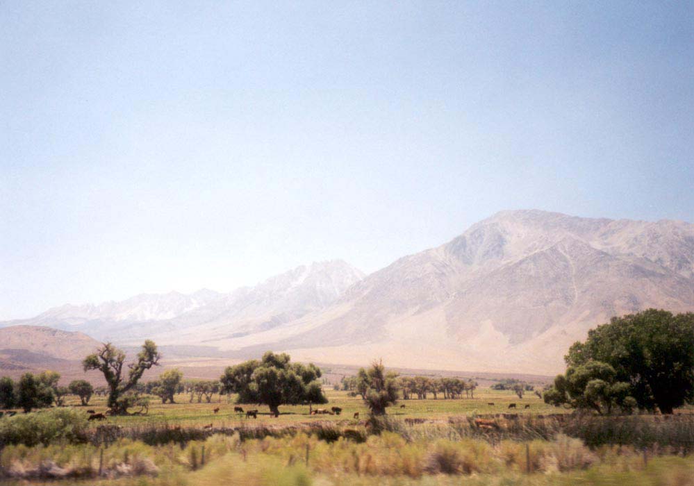
Like all our Sierra hiking trips, the weekend started with a drive up the 14 to Mojave, a bite to eat there, and a stop at sunset in Red Rock Canyon where the wind blasts pebbles across the sand and the red fluted sandstone columns cast beautiful shadows. We picked up our hiking permit in the night drop box at Lone Pine and then set out to find a place to sleep. After a few unproductive forays on side roads we took Steward Lane, just south of Big Pine, off to the East to where the dirt road ended at a creek. We parked the two cars there and camped in the sand beside a grove of trees and a barbed wire fence.
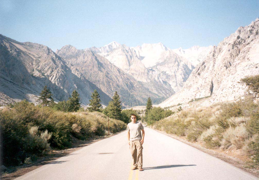
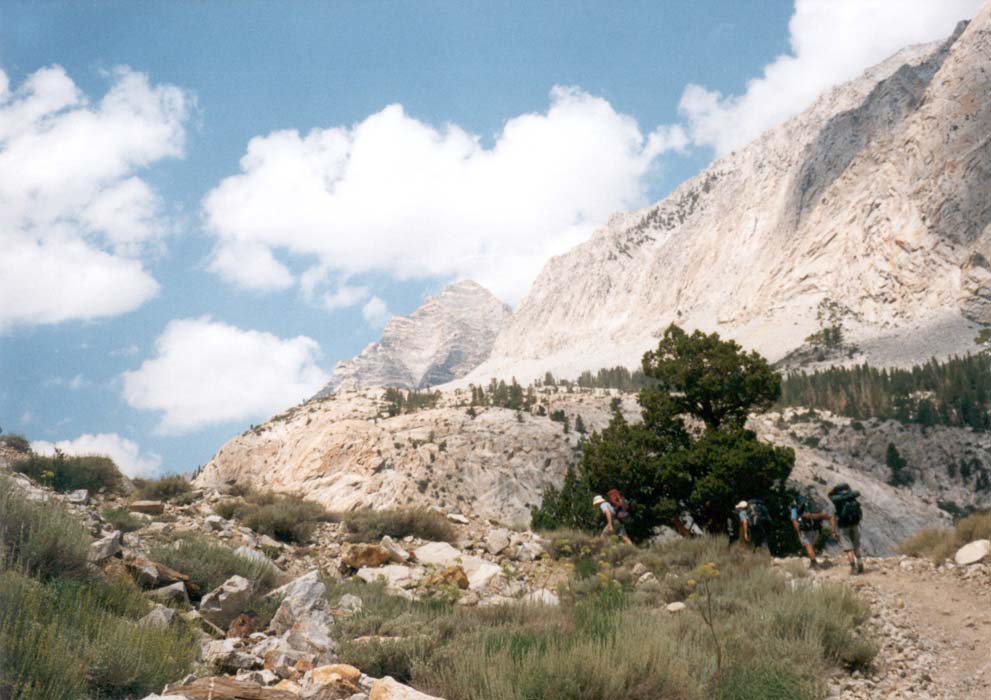
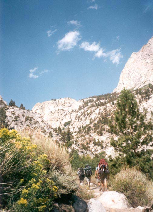
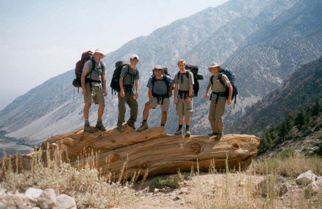
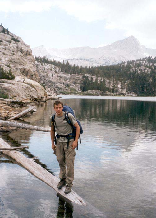
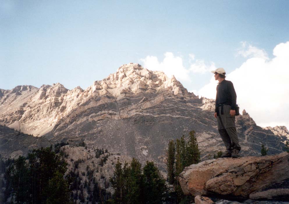
Morning sunshine revealed a spectacular vista of the Sierra skyline and the sounds of birds singing and a tractor cutting alfalfa in a nearby field. We packed and drove past Bishop to the Pine Creek road. It climbed from the valley floor at 4000 feet to a gravel lot at 7400 feet, beside a retired tungsten mine and a corral where many horses and mules were kept. The trail led up above the mine through a narrow and rugged valley to a pass. Beyond the pass we entered a world of beautiful blue lakes, wildflowers, rushing streams, patches of snow, and jagged peaks of banded rock in many colors. We selected a small lake on the map and made our way to it, camping high above the water at the top of a rocky rise. There were cliffs to jump from into the cold water. The mountains rose high above us and were very close, making us feel very small in our tiny valley. Through a pass we could see the hazy hills of Owens Valley far to the East.
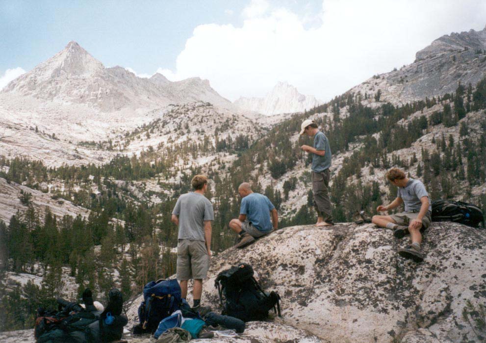
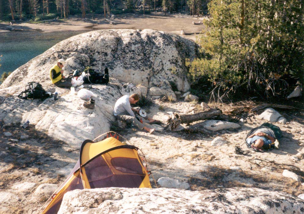
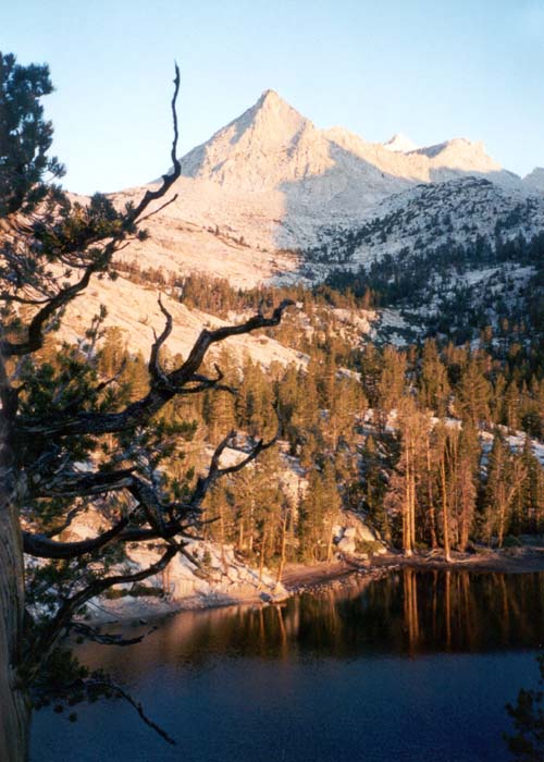
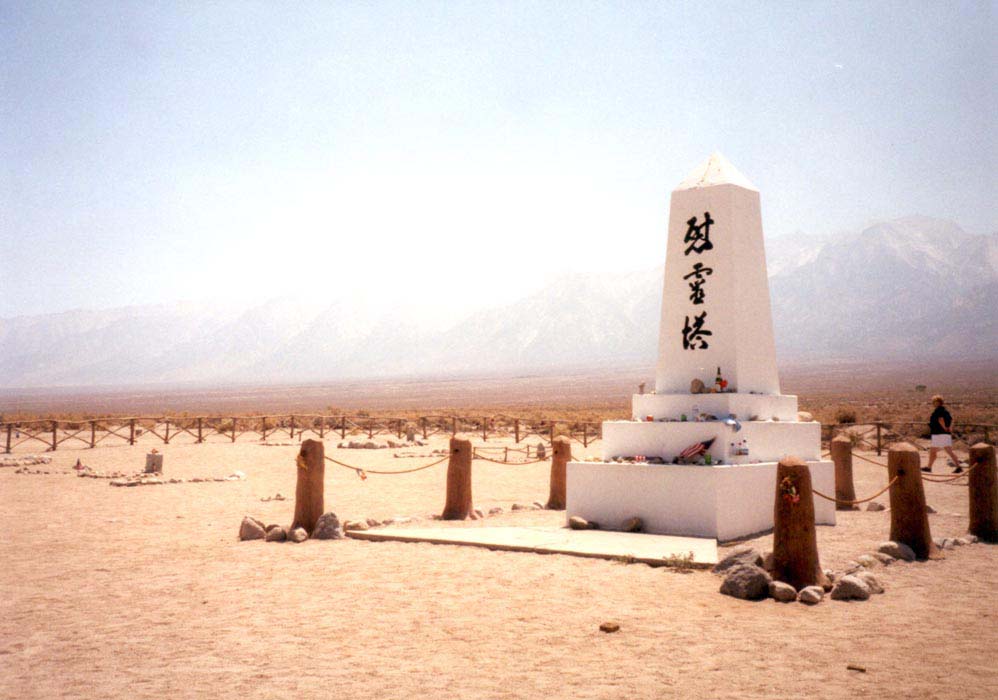
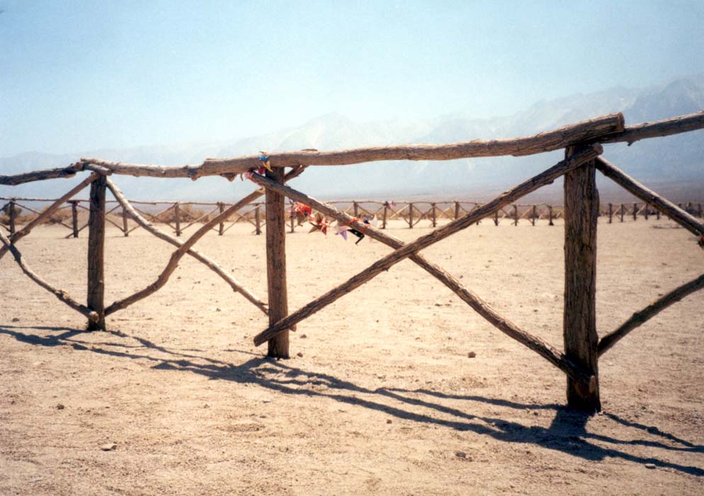
We camped two nights there, hiking around the nearby ridges and valleys, swimming, relaxing in the sun, and reducing the huge quantity of food that had arrived with us. For two days I saw no one but my four companions. Nights were cool and dark and the stars of the galaxy looked like a handful of sparks flung across the sky. We watched for satellites and saw many brilliant meteors. Sunday, driving the long road home, we stopped to prowl the eerie roads of the Manzanar concentration camp. It's sad to think of the thousands of people whose lives were shattered but who still made the best they could of their years in captivity.
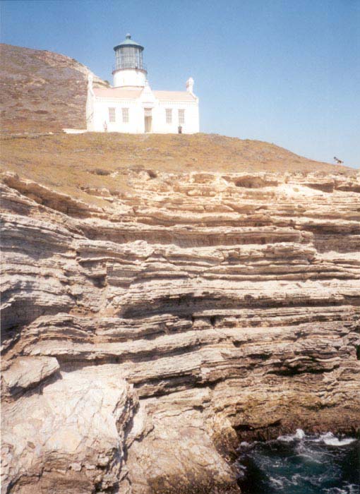
Point Conception Lighthouse hike, August 10 2002.
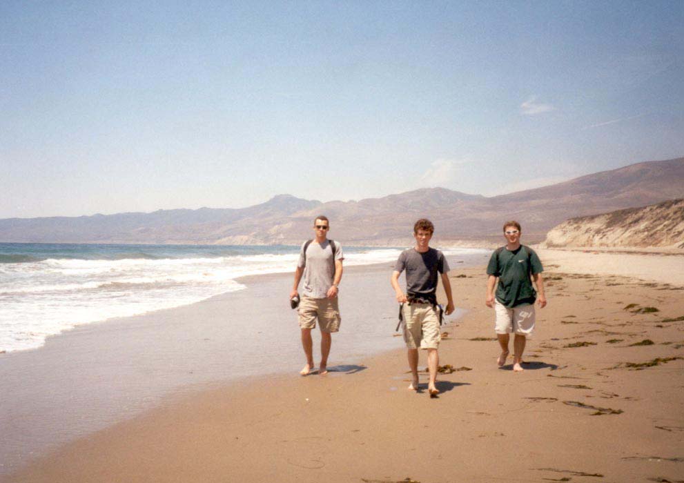
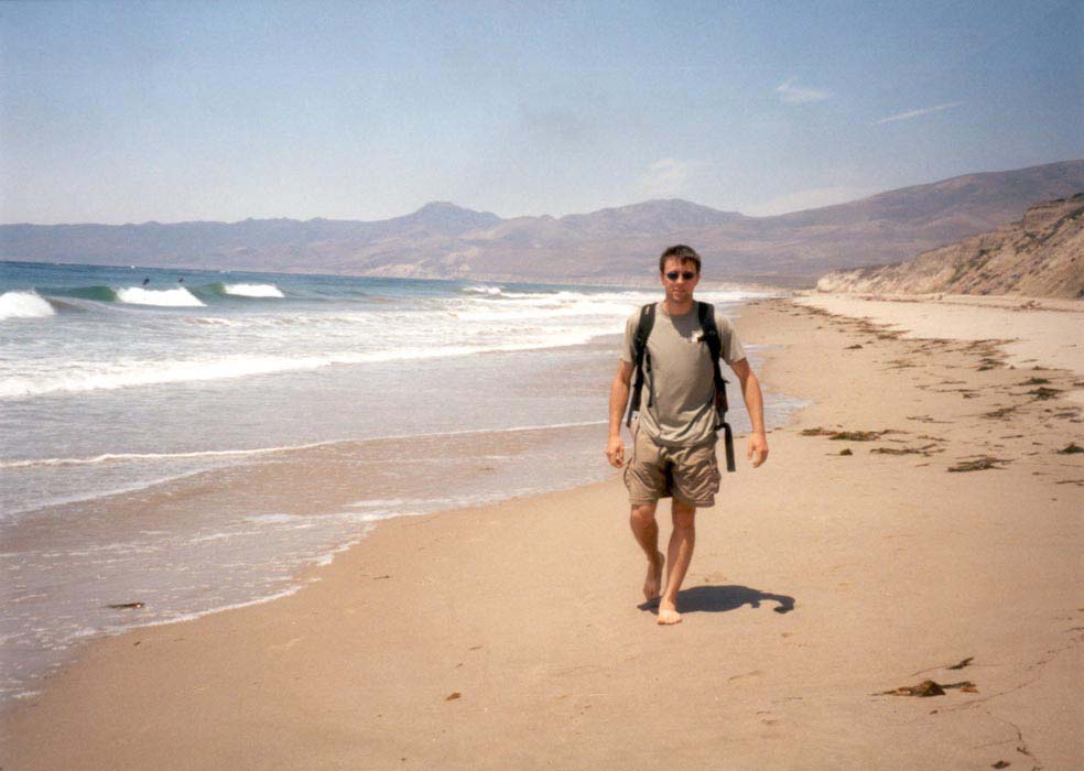
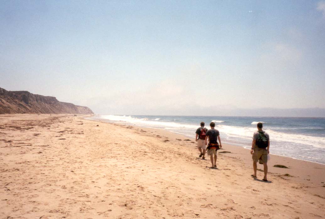
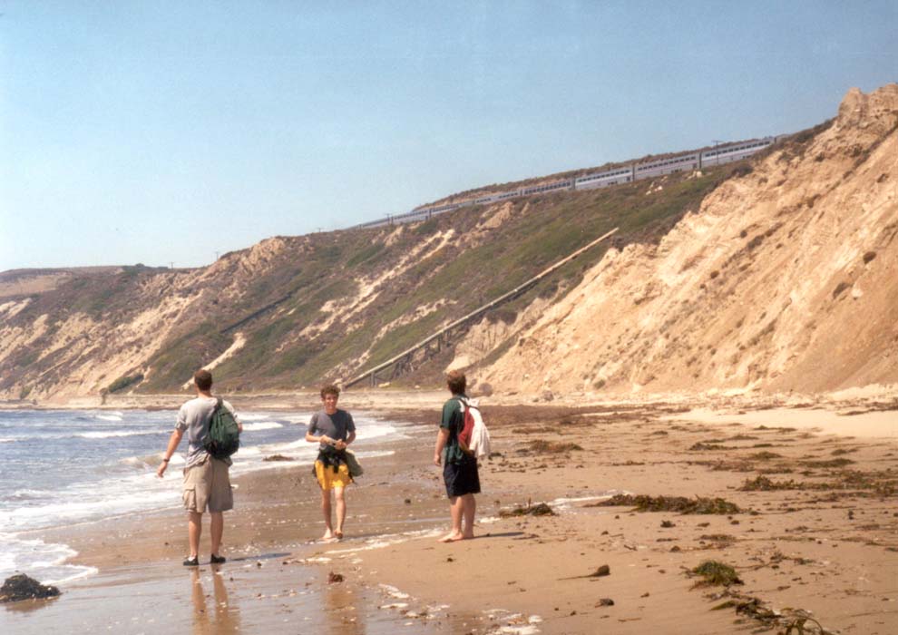

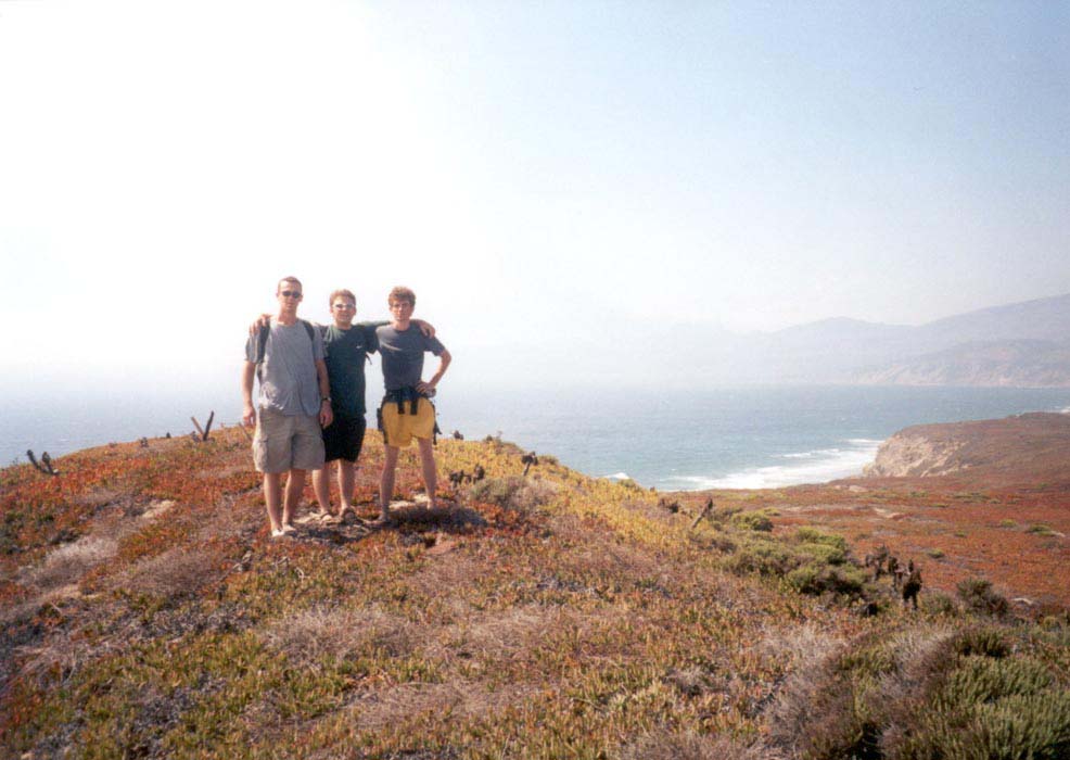
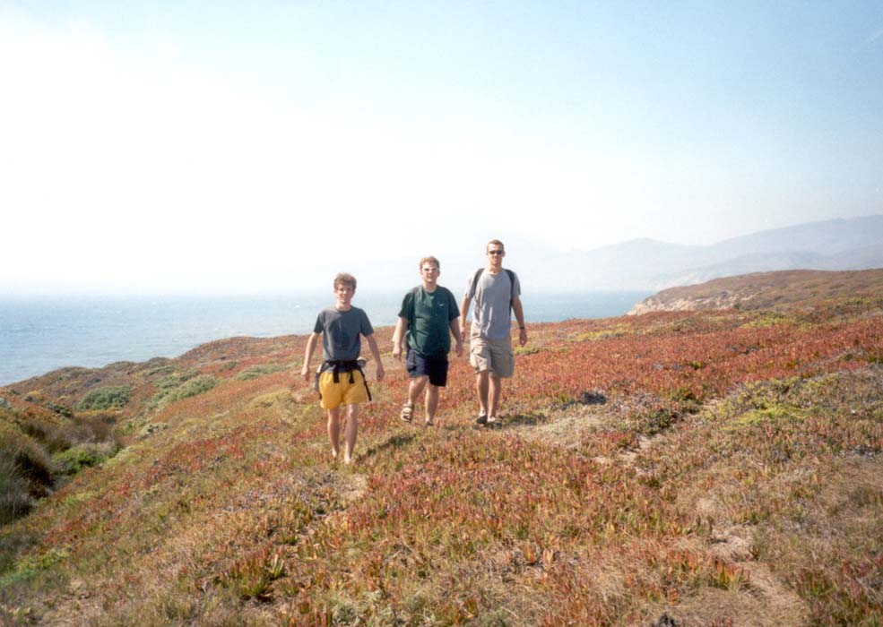
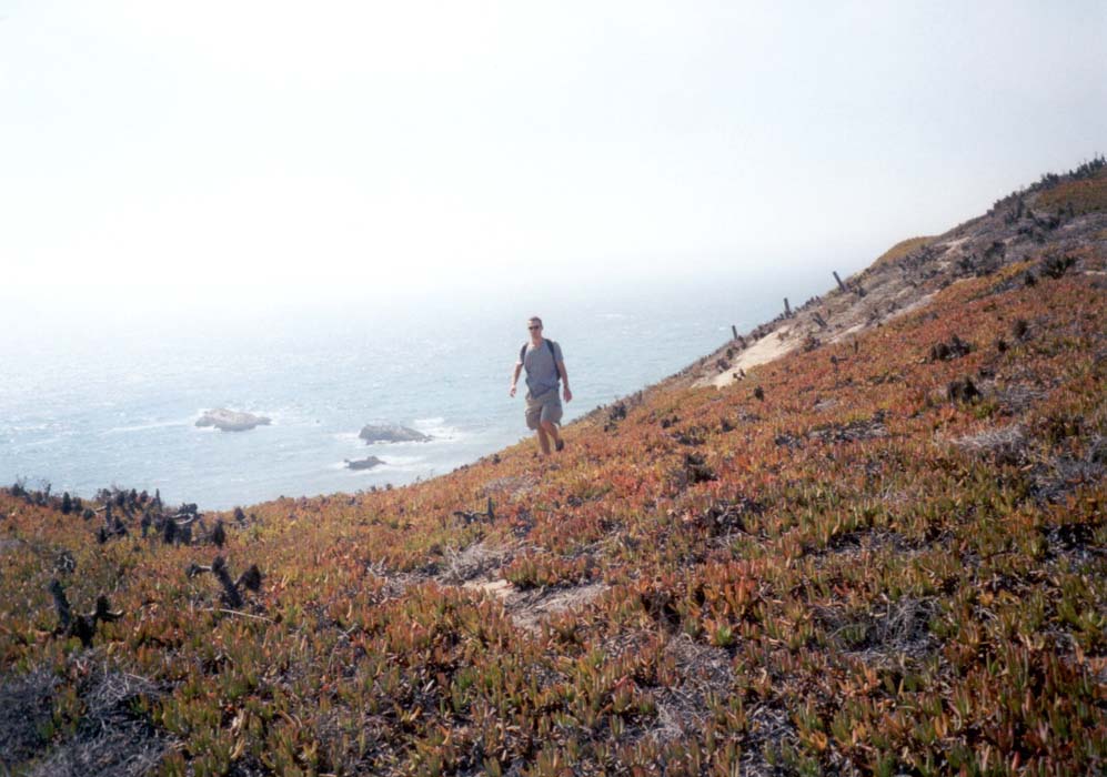
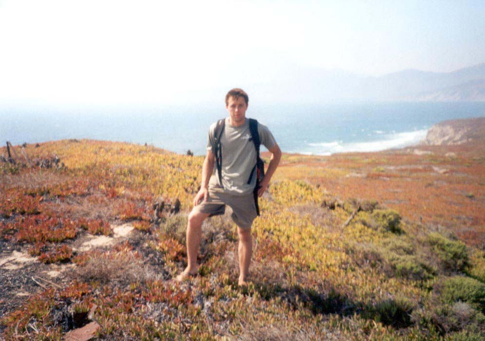
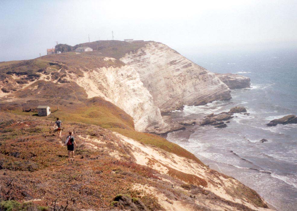
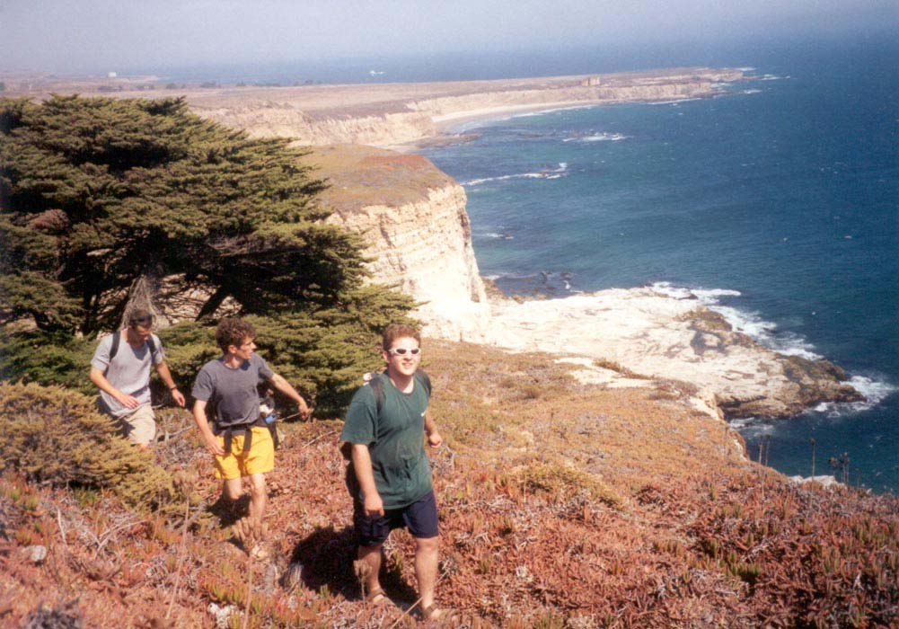
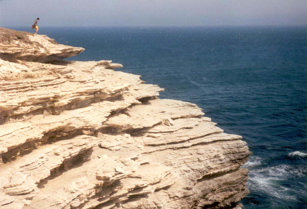
Saturday four of us from JPL drove to Jalama Beach, 2.5 hours north up the coast where the Coast Hwy cuts inland and the coastline makes a sharp bend northward. Our destination was the Point Conception Lighthouse. From the busy main beach we hiked south on the hard wet sand and after a couple miles we were traversing trackless beach. It was high tide near noon and we had to slip past old seawalls below the railroad and scramble over rocks to avoid getting wet. After two hours of walking we arrived at the end of the beach, where the surf crashed directly on the cliffs. We scrambled up a gully and came out onto beautiful rolling hills covered in springy, succulent red and green plants and fragrant grasses. Below us, the bright blue ocean had whitecaps far out to the horizon. Purple kelp beds swayed offshore in the surge. The sandy cliffs stretched off into distant haze. Offshore, the marine layer sent bursts of white mist racing overhead through the blue sky.
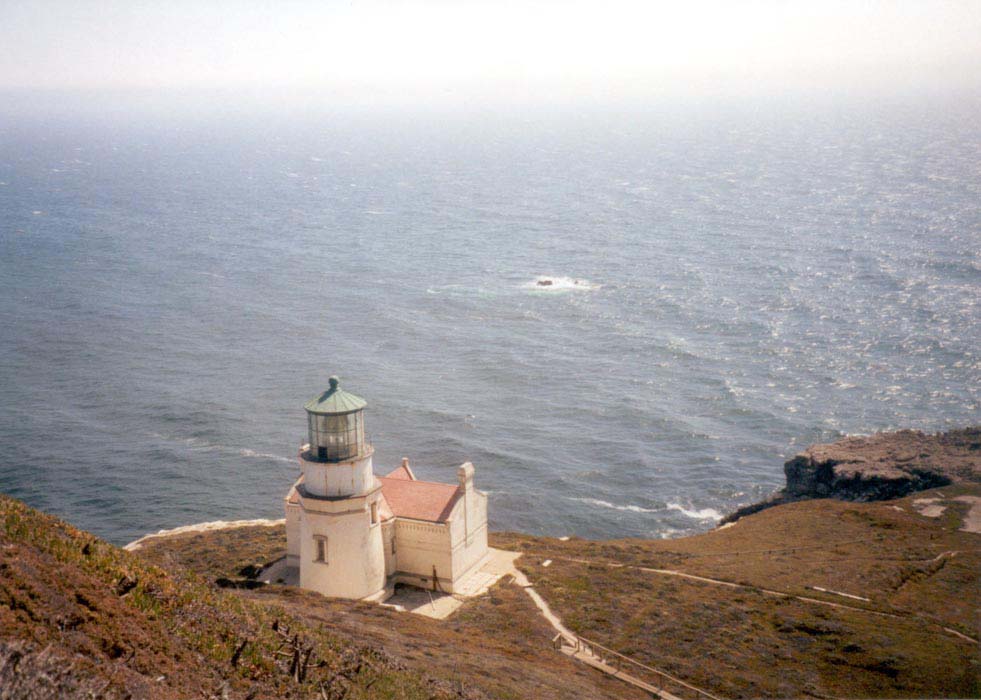
We walked, unsteadily treading the dense springy vegetation with our flip-flop clad feet, to an old white house in a grove of pines in a hollow on the lee side of the rise. The tops of the pines were flat and the branches swept downwind, like an elegant coiffure of green on the golden hilltop. The house had long been vacant. In a sheltered cove far below, at the base of the cliffs, several dozen sea lions swam and ambled around on the sunny beach. We climbed steps to the top of the hill, where a Coast Guard radio antenna and radar installation stood. From there we looked down on the beautiful lighthouse, below on the point, white stucco with a red tile roof. We descended a long flight of wooden steps to the lighthouse and prowled about, admiring the beautiful views and listening to the intense, soft blasts from the fog horn on the rocks just below the light house. Point Conception is indeed very isolated and beautiful. The walk back out along the beach seemed longer, but it was easier with the lower tide. We dined in Santa Barbara and arrived home near midnight.
to the index page